There is a common misconception that getting a site plan for a permit requires a site visit, a scheduled appointment with a local drafter, or a weeks-long wait for a licensed surveyor. None of that is true for most permit projects.
I’m Engineer Wasim. At Site Plans Online USA, we’ve been preparing permit-ready site plans remotely for homeowners, contractors, and developers across the country for years. This guide explains exactly how the online process works, what you need to provide, and how quickly you can expect a plan that’s ready to submit.
What Does “Getting a Site Plan Online” Mean?
It means a professional drafter prepares your permit site plan using digital tools — GIS data, satellite imagery, county parcel records, and zoning databases — without visiting your property.
The result is a scaled, labeled, permit-ready drawing delivered to your email as a PDF. You upload it to your city’s permit portal or hand it to your contractor. That’s it.
For the large majority of residential permit projects — pools, fences, sheds, decks, additions, garages, and driveways — an online site plan prepared from verified GIS data is exactly what your building department accepts.
What Information Do You Need Before Ordering?
You don’t need much. Here’s what helps us prepare your site plan:
Required:
- Your property address (we pull GIS data from here)
- Project type (pool, fence, addition, ADU, etc.)
Helpful but not required:
- Your county or city building permit comments if you have them
- Survey or plat map — improves accuracy if you have one
- Rough sketch or photos of the project
- Any specific dimensions you know (size of pool, location of fence line, etc.)
Not required:
- A site visit
- An in-person appointment
- A licensed survey (for most residential projects)
- Any CAD software or drafting experience on your end
Can a Site Plan Be Prepared Remotely?
Yes for most residential and many commercial projects.
We use verified GIS data, satellite imagery, and county parcel databases to establish your property boundaries, lot dimensions, and existing conditions. We cross-reference against the applicable zoning code to confirm setback requirements, impervious surface limits, and any special overlays such as flood zones.
The only situation where a remote site plan has limitations is when your property has unusual topography, unclear parcel boundaries, or a flood zone that requires a certified elevation certificate. In those cases, we’ll tell you upfront what additional documentation would improve accuracy.
For Florida projects specifically, visit Site Plans FL — our Florida-specific service has county-level data for all 67 Florida counties including HVHZ, FEMA flood zones, and county portal submission formatting.
What Types of Projects Can Be Handled Online?
Residential:
- Pool and spa permits — View residential site plans
- Fence and wall permits
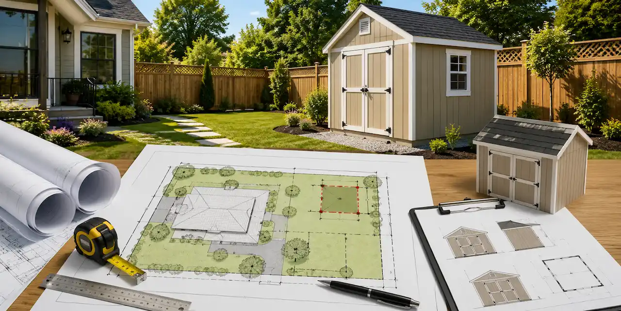
- Shed and accessory structure permits
- Deck, patio, and lanai permits
- Home additions and room additions
- Garage additions — attached and detached
- Driveway permits
- ADU and guest house permits — View ADU plans
- Solar permit site plans
Commercial:
- Tenant improvement permits — View commercial site plans
- Parking layout revisions
- Exterior building modifications
- Commercial additions
- Change of use permit site plans
PE-Stamped:
- Any project where the city requires engineering sign-off — View PE stamp services
How Long Does It Take?
- Basic residential site plan: 12 to 24 hours from receiving your project details
- Detailed residential (addition, ADU, garage): 24 to 48 hours
- Commercial site plan: 24 to 48 hours
- PE-stamped plan: 2 to 5 business days
Rush turnaround is available for urgent permit deadlines. Contact us before ordering to confirm availability.
When an Online Site Plan Is Enough
For the overwhelming majority of residential permit projects across the United States, an online site plan is sufficient.
Cities and counties are accustomed to receiving site plans prepared from GIS data. They evaluate the plan for content — correct setbacks, proper labeling, right scale, all structures shown — not for how it was created.
What matters to the reviewer is accuracy and completeness. A well-prepared online site plan that shows correct setbacks, all existing structures, proper scale, and all required notations will pass review. A hand-sketched plan that’s missing three setback dimensions will not.
Use our Site Plan Checker to confirm your plan has everything before submitting.
When You May Need a Survey or PE Stamp
A licensed survey becomes necessary when:
- Your city or county explicitly requires a “surveyor-prepared” or “certified” site plan
- Your property has boundary disputes or unclear parcel lines
- You’re in a coastal zone, CCCL area, or flood zone requiring elevation certification
A PE stamp becomes necessary when:
- Your project involves structural changes
- You’re submitting a commercial permit in most jurisdictions
- Your drainage plan requires engineering certification
- The building department’s comments specifically request it
Not sure which applies to you? Send us your permit comments and we’ll confirm. Contact our team.
How to Order From Site Plans Online USA
- Go to siteplans.online and select your service type
- Submit your property address and project details
- Upload your survey, permit comments, or sketches if available
- We confirm scope and timeline within a few hours
- Drafting begins, usually the same day
- You receive a PDF, review it, and request any changes
- Final plan delivered for permit submission
Use our Site Plan Cost Calculator to estimate the cost before ordering.
See our packages page for pricing by project type.